
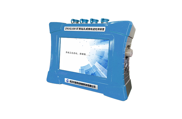


ZKXG100 Mine Borehole Imaging and Trajectory Detector
ZKXG100 The Mine Borehole Imaging and Trajectory Detector is a comprehensive detection device which can be configured into a borehole trajectory detector, a borehole peeping instrument, a borehole imager and a borehole imager and trajectory detector.
-
 Multi function
 -
 Coal rock stratification
 -
 Downhole view
 -
 Generate report
- Advantage
- Details
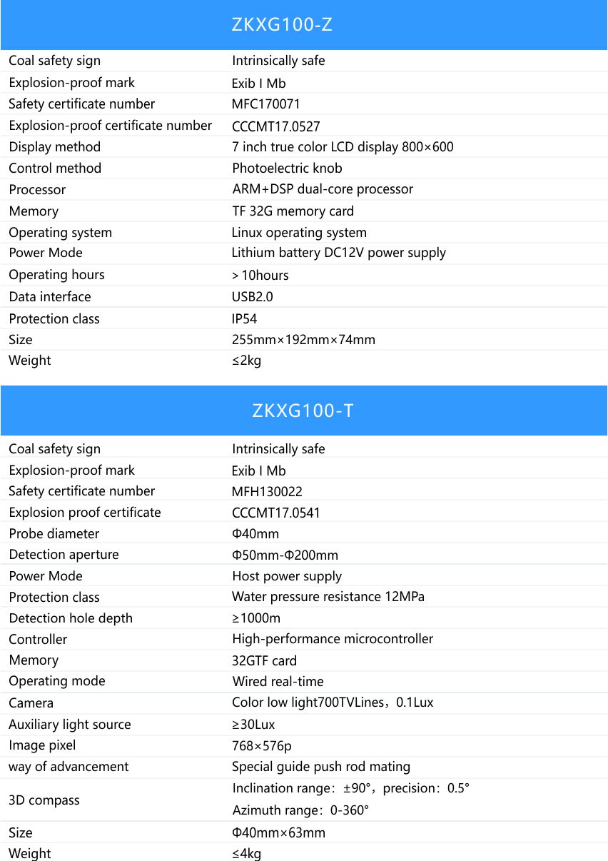
- Performance
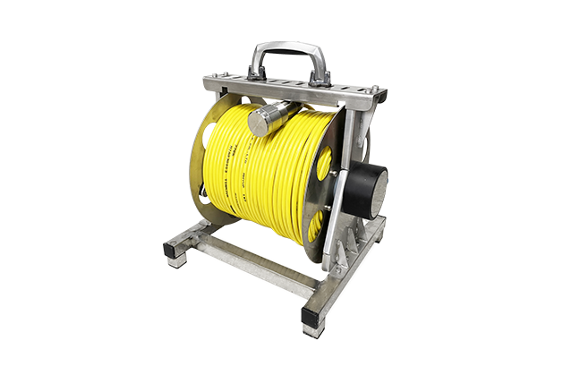
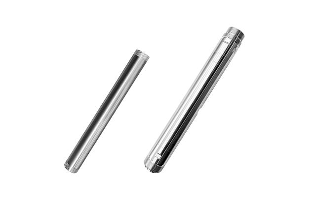
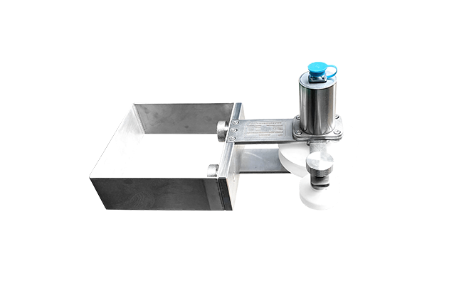
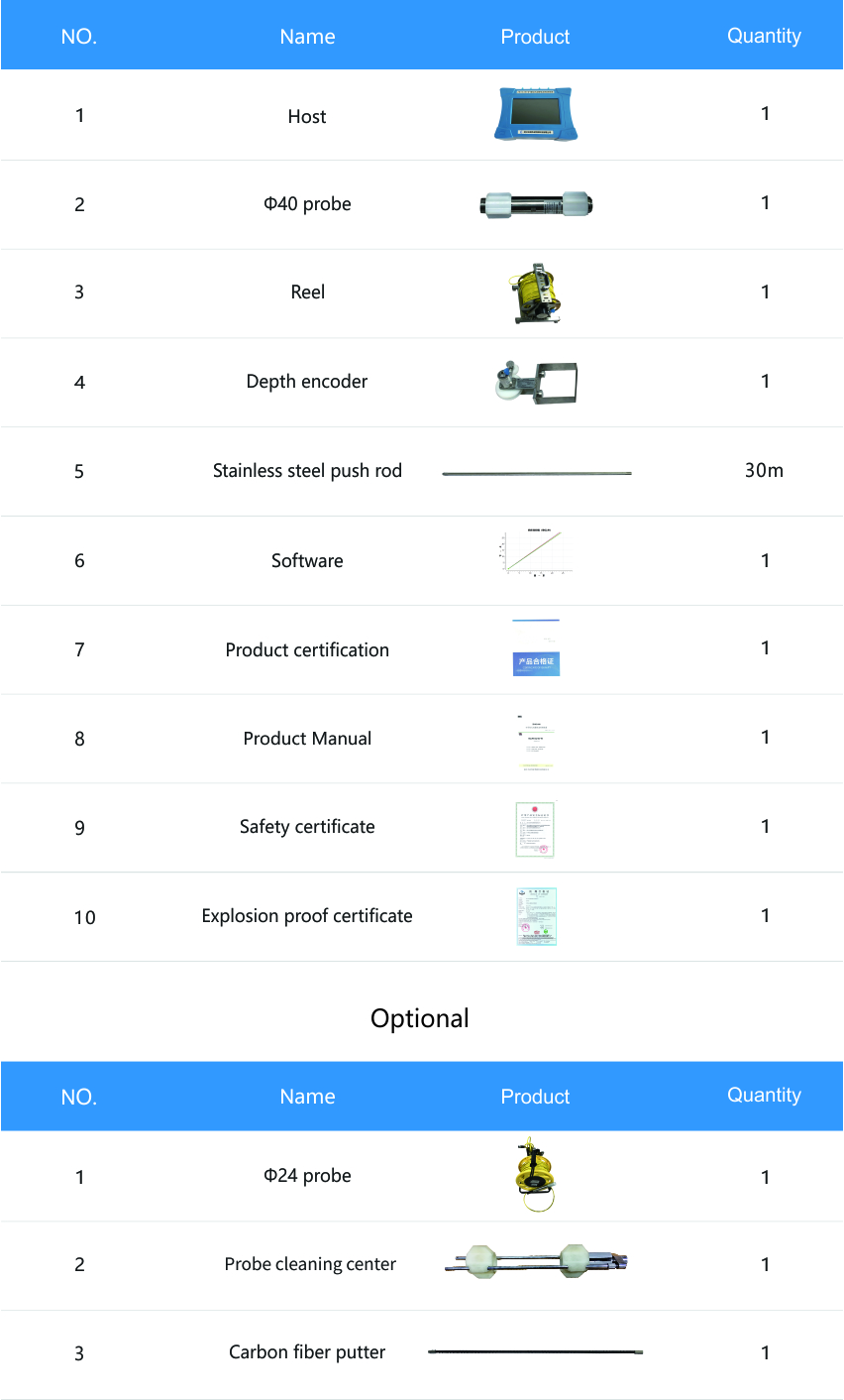
- configuration
--- Links ---
Address:Building 10, Fenghuang Industrial Park, No.52, Liufang Road, East Lake High-tech Development Zone,Wuhan
Sales:13545388336
After-sales:027-87921088
Maintenance:18627061330
QQ:2765677062
-
Products
-
Technical Center
-
Service
-
News Center
-
About Us
-
Contact Us

Copyright © 2026 Wuhan Tensense Geotech Prospecting Technology Co., Ltd.. All Rights Reserved 鄂ICP备13006517号-1